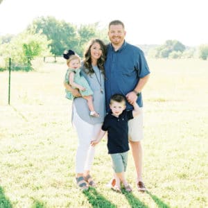
fbpx
Search
Close this search box.

Maps and Globes for First Grade

Do things ever seem so simple to you as a teacher that you think, how do I even teach that? Maps and globes are some of those concepts for me as a first grade teacher. I often think, wow that’s going to be so easy, UNTIL I start doing some digging into my first grade standards and realize that there’s a lot more to it.

Here’s what first grade students should know about maps and globes:

  • Describe their location using spatial terms
  • Identify and use cardinal directions
  • Create simple maps
  • Explain the difference in maps and globes

You can read more about the other elements of First Grade Geography HERE.

Describing Location for First Grade

Did you know that first grade students should be able to describe their location using spatial terms? What? Are you wondering what spatial terms even are?

Spatial terms are easiest to teach to young learners using prepositions: behind, near, beside. These are easily demonstrated using objects in the classroom. Then you can go bigger and start describing your location in the school, the town, etc.

First grade students should also be able to identify and use the four cardinal directions:

North, East, South, West

We all remember the cute little phrases that we learned in school, Never Eat Soggy Waffles, and so on.

A super easy way to help students learn their cardinal directions is by labeling the directions in your classroom with N, E, S and W. You can reference these by saying check the anchor chart on the “North wall”.

Creating Maps in First Grade

A really fun geography skill for first grade students is learning how to create and use simply maps such as a map of their home, classroom, school or community.

These maps can be as detailed or as simple as you want them to be. But you will be surprised how much help your first graders might need in making them. A lot of first grade students struggle with spatial reasoning and being able to see something and draw it on paper.

This is a great activity to do together once as a class, then you can put it in your writing station. Have students draw a map of something they are familiar with and then have them write about it afterwards.

This is a super easy way to go cross curricular between social studies and writing and save you some instructional time in your day!

Maps throughout the year

Creating a simple map is a great activity at the beginning of the year to help your first-grade students get used to a new classroom or a new school building.

Drawing a map of the playground is an excellent way to establish playground expectations.

Creating a map is also a great activity during October (National Fire Safety Month). Students can draw their map of their fire safety plan.

You could also have students draw a map of their house for Santa Claus at Christmas time.

Before you leave for Summer, you can have students draw a map of a road trip they want to take over Summer break.

Location to Self (Map Style)

It’s never too early to help our students understand where they are “on a map”.

I like to start small and go bigger. I like to pull up Google Maps when we start talking about “me on the map”. We find our current location at school. Then we zoom out and find our community. Then we zoom out and find our state. Then we zoom out and find our country.

I feel like this is such a good visual for students to see how small we really are in relation to the world around us.

And then just for fun, we reverse the process as we zoom back in. We go from world, to country, to state, to community and back to our school.

We continue the process while we are doing animal research because National Geographic Kids has excellent maps for showing animal locations.

This is another great time to go cross-curricular and tie social studies into writing by having students write about their favorite place! Encourage them to use spatial and cardinal directions in their writing. 

Maps v. Globes

As we talk about the differences in community and country, this is a great time to discuss the differences in a map and a globe.

If you have a physical map and a globe, that’s the best way to show students the physical difference between the two.

A map is typically a flat piece of paper, whereas a globe is a 3D model of the Earth.

You can talk about the functions of each.

A map is smaller and much easier to carry from place to place.

But a globe gives you a 3d view of the Earth as it actually is.

It’s important for students to understand that both a map and a globe are true representations of the Earth in manageable sizes to help people learn about and understand the world around them.

Maps Activities for First Grade

All of the resources seen in the images of this blog post can be found in my NO PREP Maps and Places Social Studies Unit found here: 

Books and Puzzles about Maps and Globes

More First Grade Geography

2

sign up for free stuff

Sign up to receive weekly emails with tips, free resources and info about upcoming sales.

Kristen Sullins

Kristen Sullins

I am a current Elementary Librarian and
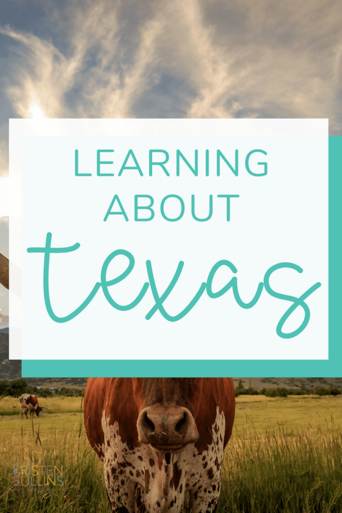
Enrichment Teacher, mother of two, follower of Christ and Texas native. In my own classroom, I love to save time by finding unique ways to integrate writing, social studies and science into all parts of my day. I also love all things organization!

YOU MAY ALSO ENJOY...